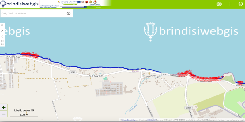
In the frame of the technical activities of the FLAT project, the Municipality of Brindisi purchased special equipment for monitoring activity. In recent months, a mapping of the coastline has been carried out and a Webgis platform has been created with the data collected. It is possible interact with the Webgis by uploading your layers in the .csv .xls .geojson .kml formats on the website through the “add level" procedure.
⬇️⬇️⬇️
http://www.brindisiwebgis.it:8010/connect/analyst/mobile/#/main?mapcfg=FLAT
The acquired data will be processed together with historical data to carry out an ongoing coastal erosion analysis and to update "Risk analysis on floods and landslides" project document.

